Challenged with the task of creating a tool for new students and families to navigate the Pigeon River Elementary School campus, students in ESAA’s second and third grade classes engaged in an in-depth exploration of their physical learning spaces and an authentic, collaborative map design process.
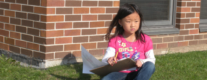
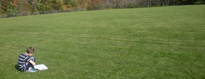
The design process started with a gallery walk. Students studied a variety of maps, using the See. Think. Wonder. thinking routine to begin defining the parts and purposes of maps. With this information, students set out to carefully observe their environment, capturing the most important details of spaces, boundaries, landmarks, and populations. Students developed and used symbols to scale details on a physical map of the large outdoor spaces, and they applied similar representation skills when they took a “step inside” the classroom and turned the space into a map with a compass rose, title, and key.

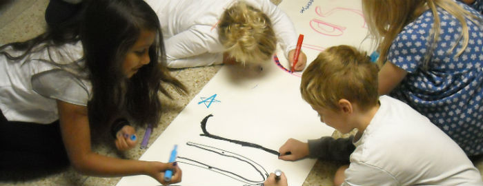
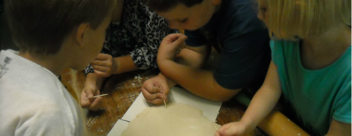
Another dimension of the exploration phase involved looking into the history of maps. Students discovered that some maps used to be made of clay. They then tested this medium by following a salt dough recipe and working with this ‘clay’ to create a map. Although there were many limitations, students connected this creation experience to the gallery observations of paper and digital maps. They then made conclusions about maps as both necessary, complex tools and as works of art. "When I was little, I always thought maps were just maps. Now I think differently. I think that maps are really interesting," reflected Lucy, a second grade student.

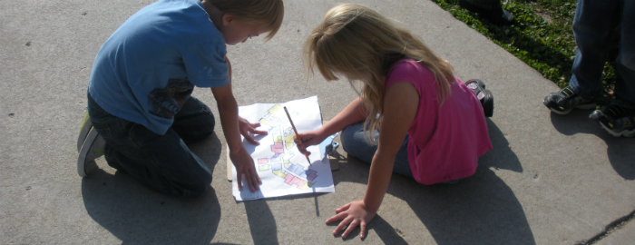
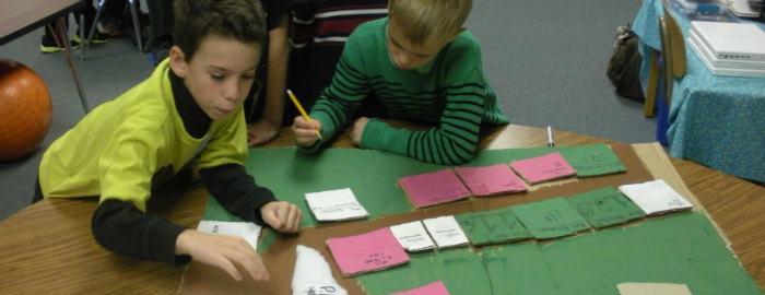
Students worked in small design teams for the final creation phase. Motivated by their responsibility to new students and families and armed with the observations and experiences of this unit, teams worked as problem-solving and map-making professionals. Third grade student, Marisa, shared her experience: "I liked that we worked together to make our map. I don't like that we made a mistake on it, but I did like that we were able to fix it as a group."
Students made proposals, drafts, critiques, and revisions with little direction from their teachers. Second grade student, Cate, said that one of the reasons she liked building the maps was because of the hard work it required.
All of the designs used innovative designs to represent the boundaries, spaces, and populations surveyed by the class: Visit our Google+ page for more images from this unit.